#7041
When it comes to presenting scientific data visually, utilizing plots, charts, maps, and various other representations is essential. The depth of information and insights that can be drawn from imagery is remarkable, making it crucial to have an effective tool for creating such visualizations. This is where tools like Surfer enters the scene.
Loading...
Loading...
Loading...
Loading...
Loading...
#5790
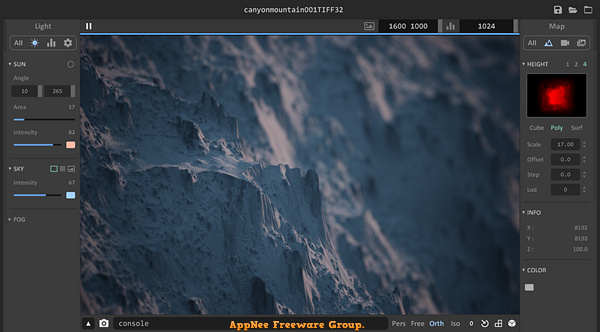
Aerialod is a very easy to use, free and open-source 3D terrain generation edge tool, developed by ephtracy (the author of MagicaVoxel). It can help you easily generate various types of terrains, render real satellite data, generate synthetic height maps, use HDR rendering, output maps up to 16K, and much more. This is enough to make it easy and fast for any user who doesn't know anything about modeling to create a 3D map.
Loading...
Loading...
#5444
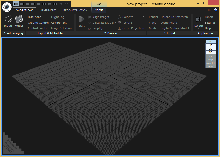
RealityCapture is a universal, full-featured photogrammetric application developed by Capturing Reality from China. It is primarily used to completely automatically create 3D models for fields including cultural heritage (art and architecture), full-body scanning, gaming, surveying, mapping, visual effects (VFX) and virtual reality (VR). It is significantly superior to all existing photogrammetric solutions in terms of speed, accuracy and mesh quality.
Loading...
Loading...
Loading...
Loading...
Loading...
Loading...
Loading...
#4926
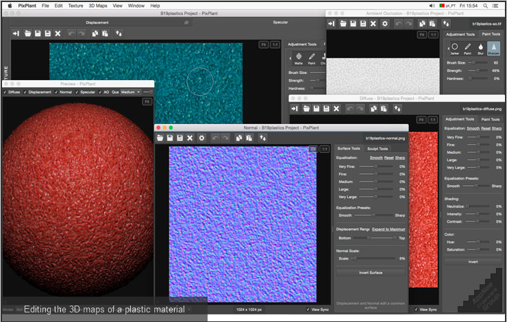
PixPlant is a smart texturing program that can quickly transform a plain photo into high-quality and seamless repeating 3D textures and maps. It can be run as a standalone application or as a plugin for Photoshop, and is great for 3D rendering maps, Photoshop seamless texture background stitching, and more.
Loading...
Loading...
Loading...
Loading...
Loading...
Loading...
Loading...
#4795
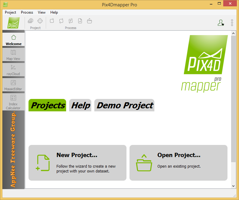
Pix4Dmapper (formerly called Pix4UAV) is a is a fully automatic, fast and professional UAV mapping and photogrammetry software developed by Pix4D from Switzerland. It is the research result of EPFL (École Polytechnique Fédérale de Lausanne), a world-class research institution, in the past 10 years. It is also the unique UAV data and aerial image processing software integrating full-automatic operation, fast processing and professional precision in one place in the market.
Loading...
Loading...
Loading...
Loading...
Loading...
Loading...
Loading...
#4548
L3DT (short for Large 3D Terrain) is a realistic and high-quality large 3D worlds (both terrain maps & textures) generator on Windows platform. It's specially designed for game developers and digital artists, developed by Aaron Torpy (the proprietor of Bundysoft) from Australia.
Loading...
Loading...
Loading...
Loading...
Loading...
Loading...
#4006
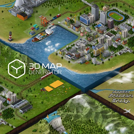
3D Map Generator Pro is a popular cartoon-style and three-dimensional maps generation presets (serves as plugin/actions set) for Adobe Photoshop. 3D Map Generator 2 - Isometric made brand-new developments on the basis of 3D Map Generator Pro. It allows you to determine the size of 3D maps on your own. Apart from isometric orientations for 3D maps offering new possibilities in usage and design, it also comes with new surfaces, layer structures, ground & background effects and a Top-Layer-Designer (which enables you to design/redesign maps in an more flexible and more detailed way, whenever necessary).
Loading...
Loading...
Loading...
Loading...
Loading...
Loading...
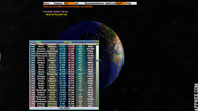
#3626
3D World Map is a powerful and high-definition three-dimensional world map (Note that: it is a 'Map' rather than 'Earth'). It enables you to accurately find 269 countries and regions in the world on this realistic tellurion, and precisely displays the locations of more than 30000 cities around the world. Plus, it can calculate the distance between any two points on the earth, and all mountains, rivers, lakes and seas can be seen with a glance on this 3D tellurion.
Loading...
Loading...
Loading...
Loading...
Loading...
Loading...
Loading...
#2695
The 3D map location technology used in Google Earth Pro pushed the latest satellite pictures on Google Maps to a new level. More its features can be skimmed through the following "Key Features" list or fully understood from its official website.
Loading...
Loading...
Loading...
Loading...
Loading...
Loading...
Loading...
Loading...