#5999
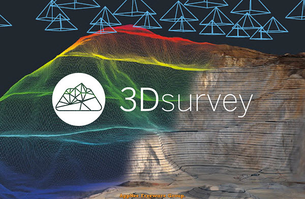
The traditional method of measuring the terrain by hand is time-consuming and you have to go back and remeasure the details immediately if you find a measurement error. Nowadays, we only need to use drones or other equipment to obtain 2D images and data about terrain, then use tools such as 3Dsurvey for image processing to locate the model, generate dense 3D point clouds from aerial images, so as to analyze each geographical location and design the model easily.
Loading...
Loading...
Loading...
Loading...
Loading...
Loading...
#4795
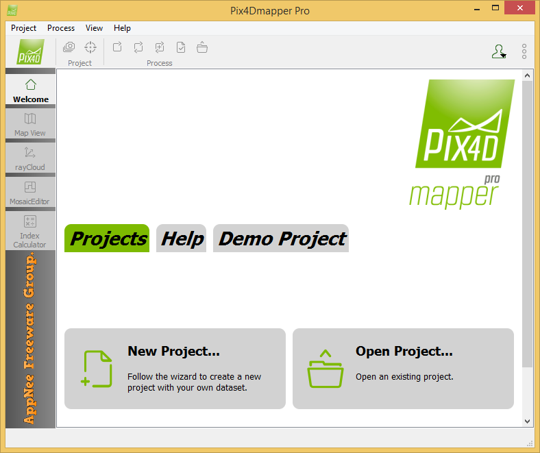
Pix4Dmapper (formerly called Pix4UAV) is a is a fully automatic, fast and professional UAV mapping and photogrammetry software developed by Pix4D from Switzerland. It is the research result of EPFL (École Polytechnique Fédérale de Lausanne), a world-class research institution, in the past 10 years. It is also the unique UAV data and aerial image processing software integrating full-automatic operation, fast processing and professional precision in one place in the market.
Loading...
Loading...
Loading...
Loading...
Loading...
Loading...
Loading...