#5999
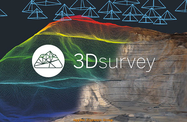
The traditional method of measuring the terrain by hand is time-consuming and you have to go back and remeasure the details immediately if you find a measurement error. Nowadays, we only need to use drones or other equipment to obtain 2D images and data about terrain, then use tools such as 3Dsurvey for image processing to locate the model, generate dense 3D point clouds from aerial images, so as to analyze each geographical location and design the model easily.
Loading...
Loading...
Loading...
Loading...
Loading...
Loading...
#4114
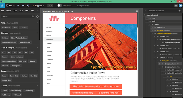
Bootstrap is currently one of the most widely used Responsive Web Design framework, and a number of web development tools have started to support it. But the thing is, most of them design web pages in the editing mode of the source code, which is unbearable for designers who are used to carry out web design works with Dreamweaver and such completely visual tools.
Loading...
Loading...
Loading...
Loading...
Loading...
Loading...
Loading...