#5999
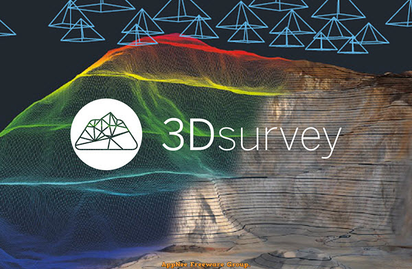
The traditional method of measuring the terrain by hand is time-consuming and you have to go back and remeasure the details immediately if you find a measurement error. Nowadays, we only need to use drones or other equipment to obtain 2D images and data about terrain, then use tools such as 3Dsurvey for image processing to locate the model, generate dense 3D point clouds from aerial images, so as to analyze each geographical location and design the model easily.
Loading...
Loading...
Loading...
Loading...
Loading...
Loading...
#5354
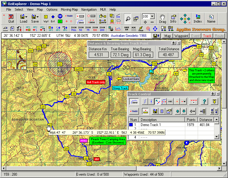
Electronic maps have replaced the traditional printed maps for a long time, especially after GPS became popular. So, most GPS device users should be familiar with OziExplorer. It is a very classic and excellent GPS mapping program developed by Des Newman from Australia in 1996. It is highly customizable, and allows to use and create custom maps for remote locations that are not fully covered by the major map providers like Tele Atlas. Therefore, it is deeply favored by outdoor enthusiasts (especially off-road drivers and adventure travelers).
Loading...
Loading...
Loading...
Loading...
Loading...
Loading...
Loading...