#5999
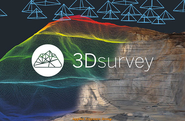
The traditional method of measuring the terrain by hand is time-consuming and you have to go back and remeasure the details immediately if you find a measurement error. Nowadays, we only need to use drones or other equipment to obtain 2D images and data about terrain, then use tools such as 3Dsurvey for image processing to locate the model, generate dense 3D point clouds from aerial images, so as to analyze each geographical location and design the model easily.
Loading...
Loading...
Loading...
Loading...
Loading...
Loading...
#5053
3DF Zephyr is a photo/video to 3D model photogrammetry software with simple operation and powerful functionality, developed by 3DFLOW from Italy. It's built on 3DFLOW's proprietary, cutting-edge reconstruction technology, allows user to automatically and easily reconstruct 3D models from photos or videos. So far, it has owned the most accurate, automatic and best-designed Multiview-Stero algorithm on the market.
Loading...
Loading...
Loading...
Loading...
Loading...
Loading...
Loading...
#4822
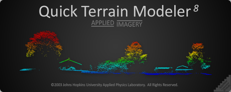
Quick Terrain Modeler (QT modeler for short) is a professional three-dimensional point cloud processing and terrain visualization software. It is mainly suitable for fast processing of large-scale LiDAR or dense point cloud data set acquired by other laser devices, also has functions of browsing, editing and analyzing these point cloud data.
Loading...
Loading...
Loading...
Loading...
Loading...
#4433
Agisoft PhotoScan (now called Agisoft Metashape) is a three-dimensional model refactoring tool based on digital image & video, developed by Agisoft from Russia, and widely used by archaeologists and UAV companies. It can use the plane images to automatically generate high-quality 3D model, which can be understood as a process of converting a series of 2D images to a 3D model. Therefore, this is a well-deserved edge tool for users with many 3D modeling needs.

Loading...
Loading...
Loading...
Loading...
Loading...
Loading...
Loading...
Loading...