#4822
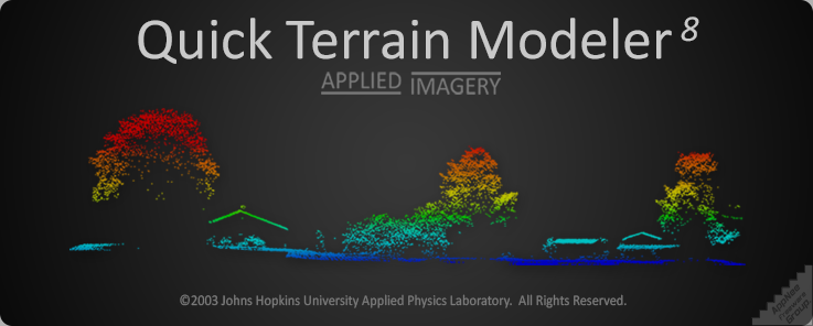
Quick Terrain Modeler (QT modeler for short) is a professional three-dimensional point cloud processing and terrain visualization software. It is mainly suitable for fast processing of large-scale LiDAR or dense point cloud data set acquired by other laser devices, also has functions of browsing, editing and analyzing these point cloud data.
Loading...
Loading...
Loading...
Loading...
Loading...