#4832

CityEngine was originally designed and developed by Pascal Mueller from Switzerland. He invented a breakthrough programmatic modeling technology during his doctoral study in the computer vision laboratory at ETH Zurich. This technology was mainly used for three-dimensional architectural design, which also laid a solid foundation for CityEngine. In 2001, he published a research article "Procedural Modeling of Cities" in SIGGRAPH. This also meant CityEngine had been officially out of the lab.
Loading...
Loading...
Loading...
Loading...
Loading...
Loading...
Loading...
Loading...
Loading...
Loading...
#4795
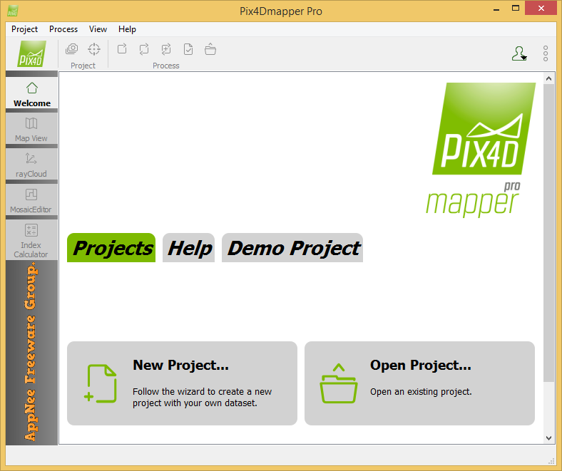
Pix4Dmapper (formerly called Pix4UAV) is a is a fully automatic, fast and professional UAV mapping and photogrammetry software developed by Pix4D from Switzerland. It is the research result of EPFL (École Polytechnique Fédérale de Lausanne), a world-class research institution, in the past 10 years. It is also the unique UAV data and aerial image processing software integrating full-automatic operation, fast processing and professional precision in one place in the market.
Loading...
Loading...
Loading...
Loading...
Loading...
Loading...
Loading...
#4433

Agisoft PhotoScan (now called Agisoft Metashape) is a three-dimensional model refactoring tool based on digital image & video, developed by Agisoft from Russia, and widely used by archaeologists and UAV companies. It can use the plane images to automatically generate high-quality 3D model, which can be understood as a process of converting a series of 2D images to a 3D model. Therefore, this is a well-deserved edge tool for users with many 3D modeling needs.
Loading...
Loading...
Loading...
Loading...
Loading...
Loading...
Loading...
Loading...
#4299
Global Mapper is a pretty professional map plotting software with comprehensive and powerful functions, as well as friendly UI for everyone to use (praised by numerous users around the world). Global Mapper by itself has all the features of a GIS, and can simplify the complex problems. In the same industry, its main rivals include Esri, GeoMedia, Manifold, and MapInfo GIS products.
Loading...
Loading...
Loading...
Loading...
Loading...
#3481
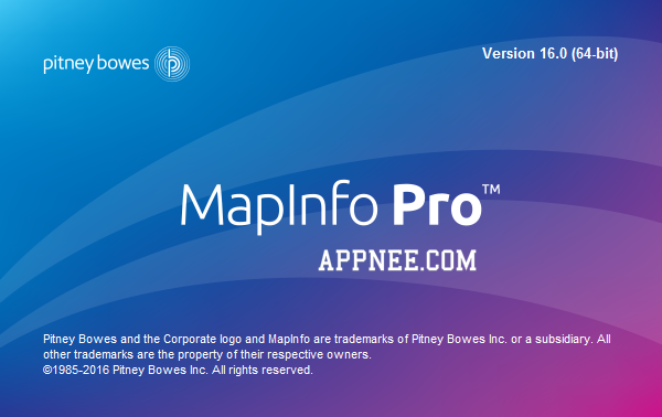
MapInfo Pro, started in 1986, is a powerful and user-friendly business desktop mapping system (namely the GIS: Geographic Information System) with commercial information mapping and data visualization functions. It can help enterprises gain the maximum value from data in the process of decision making of inventory management, resource allocation and customer communication.
Loading...
Loading...
Loading...
Loading...
Loading...
Loading...