#5790
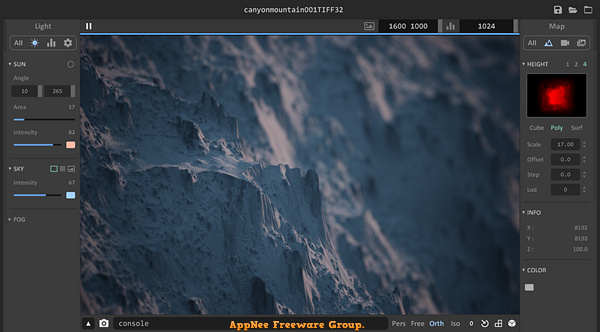
Aerialod is a very easy to use, free and open-source 3D terrain generation edge tool, developed by ephtracy (the author of MagicaVoxel). It can help you easily generate various types of terrains, render real satellite data, generate synthetic height maps, use HDR rendering, output maps up to 16K, and much more. This is enough to make it easy and fast for any user who doesn't know anything about modeling to create a 3D map.
Loading...
Loading...
#5126
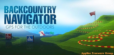
BackCountry Navigator (AKA: BackCountry Navigator TOPO GPS) is an offline GPS map navigation app mainly used for outdoor adventures, developed by CritterMap Software. It can turn your Android-based smartphone or tablet into an outdoor navigation tool that can perfectly replace the traditional handheld GPS devices. Although the software is small in size, it is powerful enough, and supports downloading maps and aerial photos over the Internet.
Loading...
Loading...
Loading...
Loading...
Loading...
Loading...
#4299
Global Mapper is a pretty professional map plotting software with comprehensive and powerful functions, as well as friendly UI for everyone to use (praised by numerous users around the world). Global Mapper by itself has all the features of a GIS, and can simplify the complex problems. In the same industry, its main rivals include Esri, GeoMedia, Manifold, and MapInfo GIS products.
Loading...
Loading...
Loading...
Loading...
Loading...