#4795
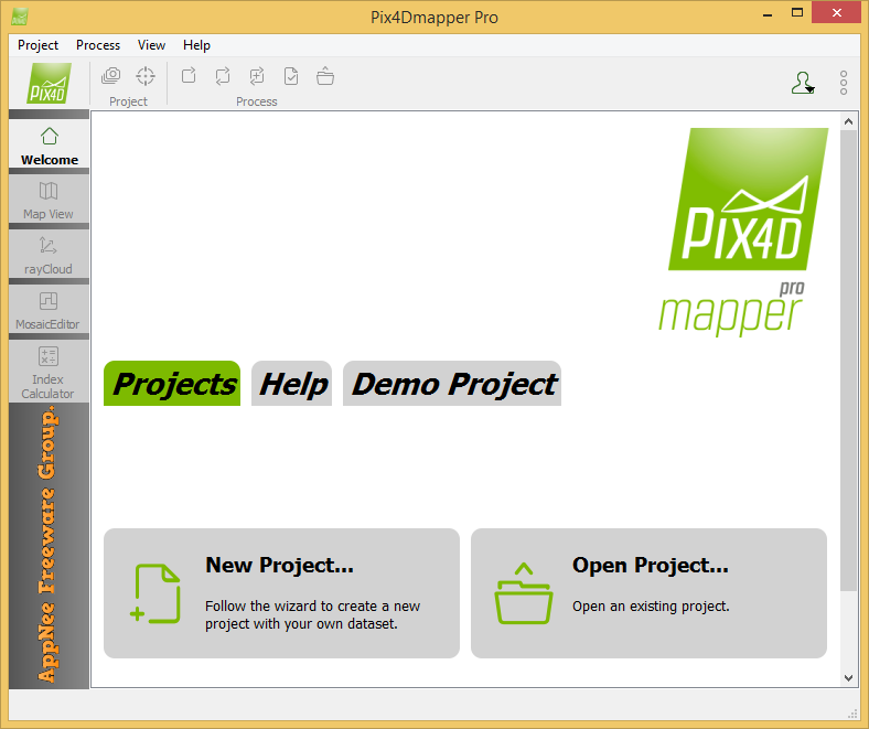
Pix4Dmapper (formerly called Pix4UAV) is a is a fully automatic, fast and professional UAV mapping and photogrammetry software developed by Pix4D from Switzerland. It is the research result of EPFL (École Polytechnique Fédérale de Lausanne), a world-class research institution, in the past 10 years. It is also the unique UAV data and aerial image processing software integrating full-automatic operation, fast processing and professional precision in one place in the market.
Loading...
Loading...
Loading...
Loading...
Loading...
Loading...
Loading...