#5444
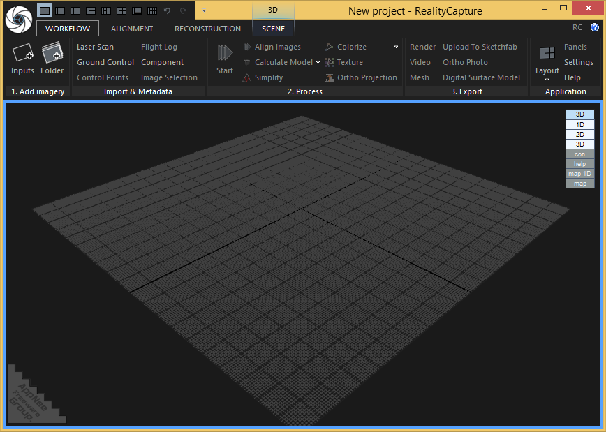
RealityCapture is a universal, full-featured photogrammetric application developed by Capturing Reality from China. It is primarily used to completely automatically create 3D models for fields including cultural heritage (art and architecture), full-body scanning, gaming, surveying, mapping, visual effects (VFX) and virtual reality (VR). It is significantly superior to all existing photogrammetric solutions in terms of speed, accuracy and mesh quality.
Loading...
Loading...
Loading...
Loading...
Loading...
Loading...
Loading...
#4795
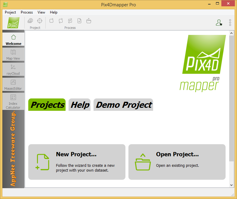
Pix4Dmapper (formerly called Pix4UAV) is a is a fully automatic, fast and professional UAV mapping and photogrammetry software developed by Pix4D from Switzerland. It is the research result of EPFL (École Polytechnique Fédérale de Lausanne), a world-class research institution, in the past 10 years. It is also the unique UAV data and aerial image processing software integrating full-automatic operation, fast processing and professional precision in one place in the market.
Loading...
Loading...
Loading...
Loading...
Loading...
Loading...
Loading...